Our waitress at dinner tonight, on finding that Lissa and I are from Albuquerque, asked what brought us to Seattle. “The water,” Lissa said.
“We’ve got lots,” the waitress said, pointing with a smile out the window to Elliott Bay. “Happy to share.”
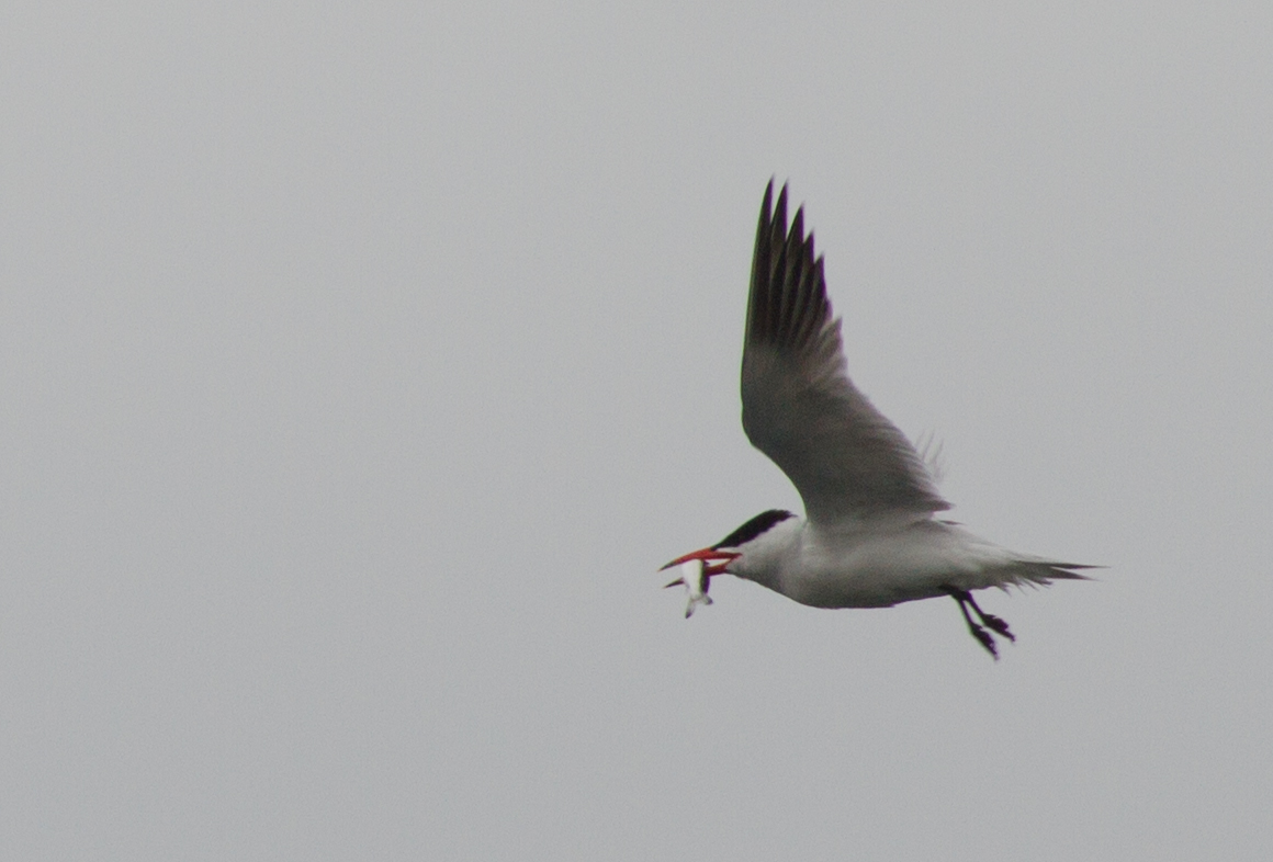
Seattle wraps around Elliott Bay, both geographically and historically. I guess that makes sense. Geography always constrains history, but in ways that are particularly striking here. We splurged on a couple of nights in the city overlooking the water before heading out to see family on Whidbey Island, and as I write this I’m looking out on a pair of gulls (glaucous-winged I think) in the foreground, dancing lazily in the wind, and the Port of Seattle in the background.
As Matthew Klingle explains in his environmental history Emerald City , the “port” sits astride what used to be tidelands at the mouth of the Duwamish River, which became the “Duwamish Waterway” as port displaced salmon. Whoever wrote the Wikipedia entry called it an “industrialized estuary”, which seems about right.
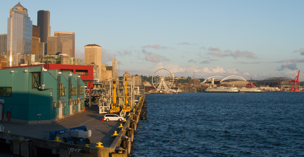
Seattle, May 2013, by John Fleck
Klingle’s book is a fascinating tale of Seattle simultaneously embracing and strangling the water around it – the lakes, the salmon runs, Puget Sound. As is almost always the case (few major US cities don’t have some roots in “port-ness”), Seattle grew up around its role as the regional shipping hub, which means it grew up around Elliott Bay. But as a community, a place, Seattle also loves its water, so the embrace is a complicated one. Heavy commerce meets jogging path. I noticed signs on several downtown waterfront piers explaining that they are public places (they have benches), but that on occasion commerce can trump public purpose when a ship’s unloading. Klingle tells the sometimes hilarious early stories of the decision about where to draw the line between public water and private land, that which was freely available for all to use and that which could be owned. The uneasy dance around that line continues.
I don’t know enough about Seattle’s economy to explain the role of the port. There have been stories in the local papers documenting the port’s decline relative to rival Tacoma. Traffic is down the last couple of years, but there’s still a lot of cargo moving through the big terminals sitting astride what used to be the Duwamish. We watched a pair of tugboats shepherd two big container ships.
But the horizon looking south across Elliott Bay highlights the complex geography – shipping terminals, ballpark, ferris wheel, clam shack (ah, Ivar’s), ferry terminal and the downtown skyline all compete for the scarce real estate embracing the bay.
As Lissa and I were walking around this afternoon, we stumbled upon a great tragedy narrowly averted. A trucker, lost in downtown, tried to make a right turn on Pioneer Square but couldn’t quite make the corner. When we arrived, the truck was lodged hard against the square’s historic pergola. Another few feet and it would have come crashing down, and not for the first time. A clerk in a store across the way told Lissa this has happened before.
Much flashing of lights and huffing and puffing by a truly mighty tow truck dislodged him, and the Pioneer Square pergola was saved to continue its sacred role of sheltering Seattle’s homeless from the city’s relentless drizzle. A rainstorm blew through, Lissa and I ducked into a shop for coffee and pastries, which is what one does here. The tables around us were all laptops and earbuds and while we were drinking it, I kid you not, we heard Pearl Jam on the shop’s stereo.