Raising Shasta Dam

One of my gazillion water book ideas was “The Last Concrete”. It was going to be about the end of big water infrastructure in the West. Except there’s no way to know when the last one happens, because there are a bunch of lingering projects that probably won’t ever get built, but that don’t ever quite get killed.

I’ve assumed the proposal to raise Shasta Dam in California is one of those. Or not:

In February of 2012, the Bureau of Reclamation released a Draft Feasibility Study that determined the project was both technically and environmentally feasible, as well as economically justified; the study determined that raising the dam 18.5 feet would cost just over $1 billion dollars and would produce from $18 to $63 million in net economic benefits per year.

More from Maven on the release of the project National Environmental Policy Act draft studies.


Marble Canyon: burrowing into the Earth

Marble Canyon, 1923

Marble Canyon, 1923, USGS

From the 1923 US Geological Survey’s Birdseye Expedition of the Grand Canyon. The full caption:

Sheer walls in Marble Canyon. The rate at which this canyon burrows its way into the earth never fails to astonish the traveler entering it for the first time. Twenty miles below its head, the walls are 2,000 feet above the river, nine-tenths being due to the rise of the plateau and one-tenth to the descent of the stream. Colorado River Survey of 1923 (Birdseye).

Picture courtesy of the USGS digital photo archive of the Birdseye Expedition. More on the expedition in Damming Grand Canyon: The 1923 USGS Colorado River Expedition by Diane Boyer and Robert Webb.


The Great Mistake, 1928 edition

William L. Sibert

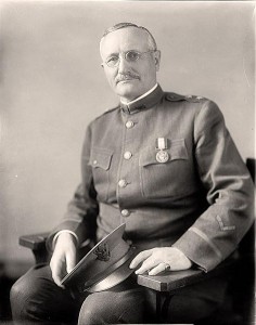
William L. Sibert, who warned us that there was less water in the Colorado River than we thought

With “Chasing Water” and “Moving Water” taken, the current working title for my Colorado River book-in-progress is “The Great Mistake.” It doesn’t have enough action verbiness for the final cut, but it seems to nicely frame one of my central themes – that the folks who built the elaborate plumbing system in the Colorado River Basin were mistaken about how much water they had to work with.

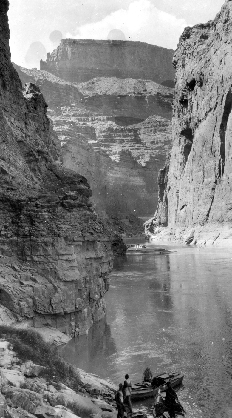
The problem: the 1922 Colorado River Compact allocated a fixed amount – 7.5 million acre feet for the four states in the Upper Basin, 7.5 million acre feet for the three states in the lower basin, with a vague wave of the hand to the idea that Mexico also ought to get some water. With the Mexican share later quantified at 1.5maf, we’ve got a locked-in allocation of 16.5 million acre feet. But we now know there’s not, on average, that much water in the river.

I’m intrigued by the people who, back when the plans were being laid out, warned about the problem. My latest example is the Colorado River Board on the Boulder Dam Project, which submitted a report to Congress in 1928. Led by a retired military engineer named William Luther Sibert, the board concluded that there was probably a million acre feet per year less water in the Colorado River than folks thought:

It is quite probable that the compact attempts to apportion more water than the actual average undepleted flow of the river.

The Sibert Board’s proposed solution seems to have been to screw Mexico:

It is of much economic importance that an agreement limiting the amount of water assignable to Mexico should be made prior to the completion of the Boulder Dam project.

(Quotes from a 1929 Bureau of Reclamation summary of Sibert’s report.)

The problem, as the late Norris Hundley explained in his invaluable Water and the West, is that measuring the river was a really hard problem, and the tools of the day really weren’t up to the task. But, interestingly, when uncertainties arose, the folks building the massive plumbing system (both physical and institutional plumbing) tended to go with the higher numbers.

Go figure.

My own Salt Dream

As we speak, there’s this screamin’ deal on ebay:

This well known resort area is located in Southern California at the western end of Imperial County. Popular activities at the Salton Sea State Recreation Area include boating, water-skiing, fishing, jet-skiing, hiking, birdwatching, and sailboarding. It is estimated that over 1 million visitors spend time at the Salton Sea each year. Salton City and the surrounding communities saw a large influx of building and development over the last 7 years or so. A new casino, commercial center and tract homes were some of many projects.

Five acres. “The parcel has an existing easement for a road and has some very nice views.” Current high bid $810. Here’s a picture:

Desert Paradise

Desert Paradise


For more background: Salt Dreams: Land and Water in Low-Down California

Scandalous Santa Fe Reporter cover

This cover from the Santa Fe Reporter, New Mexico’s favorite alt-weekly, has created a bit of a ruckus:

Santa Fe Reporter

Santa Fe Reporter

No, I’m not talking about the bikini-clad Lady of Gaudalupe. I’m talking about the saguaros, those two tall-armed cacti in the distance. This outrage must not stand.

“New Mexico?” Chris Clarke wrote last year. “No tienen saguaros.” But to prove that I take my cactus humor seriously, I kid you not, we’re actually trying to grow a saguaro in our Albuquerque front yard – our living joke on all those tight-asses like, say, me, who like to complain about saguaros in New Mexico iconography:

spiky

Spikey

Me: “How do we spell ‘Spikey’?”

Lissa: “Dunno. I don’t think he’s alive.’

An aqueduct to replenish the Ogallala?

Wayne Bossert, who manages the Northwest Kansas Groundwater Management District No. 4, has a post up this morning about an idea being kicked around by his colleagues to the south to build an aqueduct to move Missouri River water westward to replenish supplies in depleted Ogallala-dependent communities:

The proposal is to transfer high flows west – four million AF per year capacity – thus assisting the adjacent and downstream states by reducing flood flows and the damage they do. A series of bank storage collector wells would collect the flows and place the water into the aqueduct. The aqueduct would provide water along the way to various users (municipal, ag and industrial), generate power, be a lazy-river tourist attraction, and pull any other duties such a supply of water can be harnessed to do. It would terminate in a new, man-made, 700,000 AF reservoir in west-central Kansas. From there it would need to be further distributed – mainly dedicated to irrigated agriculture for taking some stress off the Ogallala groundwater use.

What do you think? Is this a sensible idea?


Stuff I helped create elsewhere: “Is fire good? Is fire bad”?

Big package in the Sunday newspaper and on line triggered by a visit to the Jemez Mountains by Journal multimedia guy Pat Vasquez-Cunningham and myself to spend time with Tom Swetnam:

The son of the National Forest Service’s Jemez district ranger, Swetnam grew up with a hand-cranked phone in the front bedroom, hardwired to the fire tower. “All through the early 20th century Forest Service, their mission was to put fire out, and I grew up with that,” Swetnam said.

Pat’s video captures the complexity of Tom’s views on fire:

And our graphics guru Cathryn Cunningham worked with data from Bandelier National Monument graphics guru Kay Beeley to make this remarkable bit of map-based storytelling that goes with it:


In Colorado River water, sharing the shortages versus suing the bastards

From a June 13 appearance on KNPR in Las Vegas, NV, with Pat Mulroy and Robert Glennon:

States have resorted to lawsuits, and even military action to protect water sources in the past. Lawsuits have a huge downside, and can cost municipalities access to water if they lose.

“What we’ve seen going back to the late 1990s is that it’s in their best interest not to fight,” said John Fleck, reporter for the Albuquerque Journal. “It’s much better for the water managers to understand how the shortage is going to be shared.”

You can listen to the whole thing here.

Stuff I wrote elsewhere: is Albuquerque water conservation losing ground to population growth?

One of the undertold stories, amid the gloomy forecasters for water in the southwestern United States, is the water conservation successes of the region’s major metro areas. Emily Green has a nice example from Los Angeles, where total water usage is down nearly 20 percent from 2006-07. Michael Cohen, at the Pacific Institute, documented this in an invaluable study back in 2011. But Cohen’s work captured something important. Even as per capita use is dropping, population growth is wiping out gains.

As I wrote in this morning’s newspaper, we’re seeing that play out right now in Albuquerque. After decades of drops in both per capita and total water consumption, the city’s water agency managers now are envisioning a future in which population growth begins to outstrip conservation gains:

Albuquerque’s water use is expected to rise 21 percent by 2024, as population growth outstrips conservation efforts, according to a new long-range plan approved Wednesday evening.

The Albuquerque Bernalillo County Water Utility board approved a new conservation strategy aimed at reducing per-capita consumption to 135 gallons per person per day by 2024, a 9 percent reduction from the current 148 gallons.

But with population in the utility’s service area projected to grow from the current 640,000 to 810,000 by 2024, overall water use is expected to rise, according to an analysis by Katherine Yuhas, the water utility’s conservation officer.


A California “atmospheric river” storm, in June?

The NOAA Automated Atmospheric River Detection system has picked up a storm with some potential in the Pacific, which at this point (five days out) seems to be pointed at California:

Atmospheric River?

Atmospheric River?

That’s the forecast image for Monday morning. According to Michael Dettinger, who was fielding my questions this afternoon on Twitter, AR storms are very unusual this time of year. It’s definitely the unrainy season there, with Sacramento averaging just 0.18 inch of rain in June. The Sacramento NWS office has more. (Also thanks to Matt Weiser at the Sacramento Bee for pointers.)