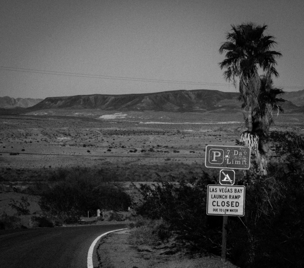
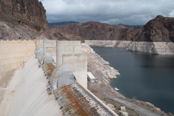
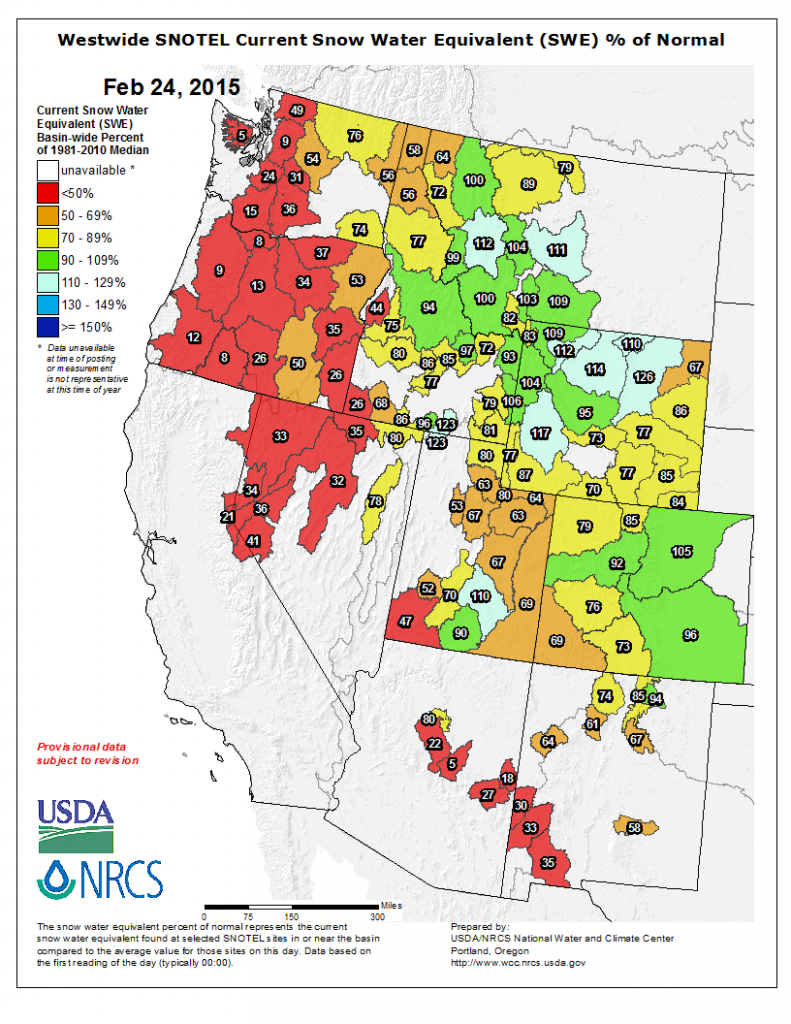
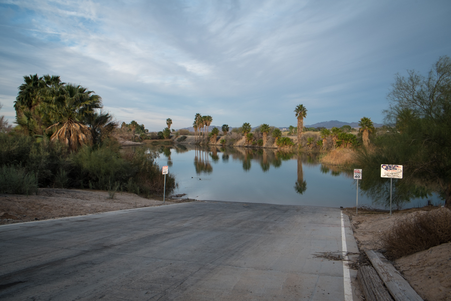
BOULDER CITY, NEV. – I was standing at a pullout on the Arizona side of Hoover Dam late this afternoon, taking pictures of the big empty, when a Japanese family got out of their car and walked up to the edge. One of the men pointed down at the big empty, then made a broad gesture at the “bathtub ring”, the white mineral deposits on the opposite wall of black canyon that starkly mark the great emptiness of Lake Mead. He spoke words I understood despite not sharing a language. It was a version of the same comments I heard over and over this week as people came upon the great emptiness of Lake Mead.
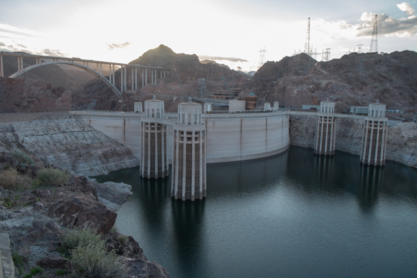
Hoover Dam from the Arizona side at sunset, Feb. 27, 2015, by John Fleck
I was shooting into the sun, so this picture doesn’t quite do it justice, but you get the idea. It’s the physical manifestation of a system that, to borrow the language of one of the people I talked to at length this week, is not in “equilibrium”. All you have to do is get out of your car and look down.
Melinda Harm Benson, part of my University of New Mexico water policy posse, has been teaching me about “resilience”, which as she carefully defines it means the ability of a system to absorb a shock and retain its basic functional characteristics. In a very helpful paper applying this line of thinking to the Rio Grande, Benson borrows this definitional language from Brian Walker and David Salt: “the capacity of a system to absorb a spectrum disturbance and reorganize so as to retain essentially the same function, structure, and feedbacks—to have the same identity.”
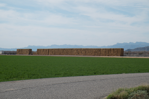
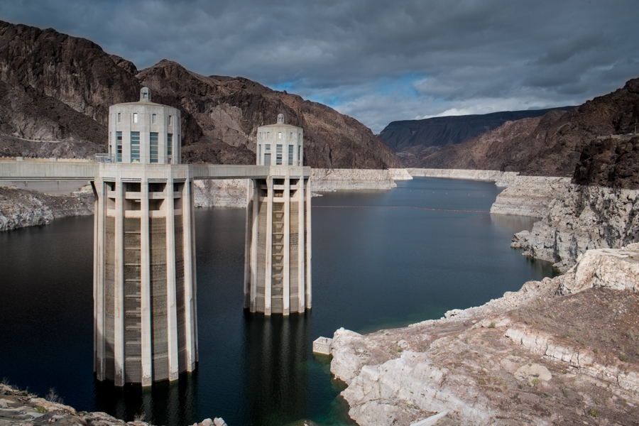
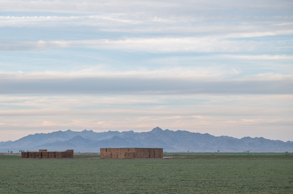
Colorado River Indian Tribes alfalfa field
What we are seeing in the great emptiness of Lake Mead is a disturbance – substantially less water than we’ve every had before in the system, with demands that are simultaneously as large as, if not larger than, anything seen before in the system.
But the definition of resilience I’m using here begs an important question: who gets to decide what functions are to be retained? What is in, and what is out?
When I say “the system,” I intend something that requires some care in definition. It includes not only the river, but the infrastructure we have built on top of it over the last century to move its water for uses elsewhere, and the society that we have built based on the availability of that water.
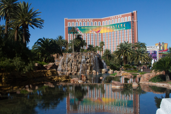
Mirage hotel, Las Vegas Strip, February 2015, by John Fleck
So I mean, for example, the alfalfa fields of the Colorado River Indian Tribes, and the befountained resort/casinos of the Las Vegas Strip. I mean Phoenix and Los Angeles as well, and farming in the lettuce and alfalfa belt of Imperial and Yuma, and maybe even the Salton Sea. (Really John, the Salton Sea too? Would you like fries with that and a large drink as well?) The water manager who introduced the word “equilibrium” into our conversation as a goal meant much the same thing – a system that is able to take care of all sectors of the human economy that depend on it (including recreation) while leaving water for the natural environment.
Can we have all of that?
I think the answer is “yes”, that each of the functions I’ve chosen to ascribe to include in the system can survive intact, with much the same relationships and feedbacks to the whole, but at some smaller scale. Every piece of the system must have the capability of getting by with less water – more so if we are going to include “the environment”, which in some areas we’ve already zeroed out. We need to get the institutional plumbing right in a way that backs away from our current precipice. New water sharing and distribution rules are needed that can offer more flexibility – more resilience to shocks.
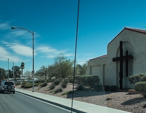
Las Vegas church that used to have lawn, now xeriscaped, February 2015
This is not impossible. It is easy to imagine Las Vegas – currently consumptively using 124 gallons per person per day – going down to 100 and still retaining its same basic structure and function. It is easy to imagine Imperial Valley with 350,000 irrigated acres during dry years instead of 450,000, still retaining its same basic structure and function.
There are other conceivable approaches. We could decide that some pieces of the system are expendable. We’ve already largely done that with large segments of the natural environment, though the river’s managers now seem to be genuinely trying to find a way to undo some of that damage. We could solve the entire river’s water deficit in one stroke if we decided that it no longer makes sense to farm the Imperial Valley. I’m not advocating that, and I don’t think it’s needed, but there are those who think it’s inevitable.
If we set to squabbling rather than figuring out how to share, we also could crash-land the system in ways that I think are unacceptable – letting Lake Mead drop below Las Vegas’s water system intakes is the system’s most dramatic near term risk scenario, but one also can easily see a not too distant future in which Phoenix and Tucson see their Colorado River water slashed while California loses not a drop. I also don’t think that’s desirable or acceptable, but that’s a realistic scenario if we don’t get the rules fixed soon. In any of those scenarios, the system would no longer retain its basic function and structure.
It would be a failure of resilience, it would not be “equilibrium”, and it would make me sad.