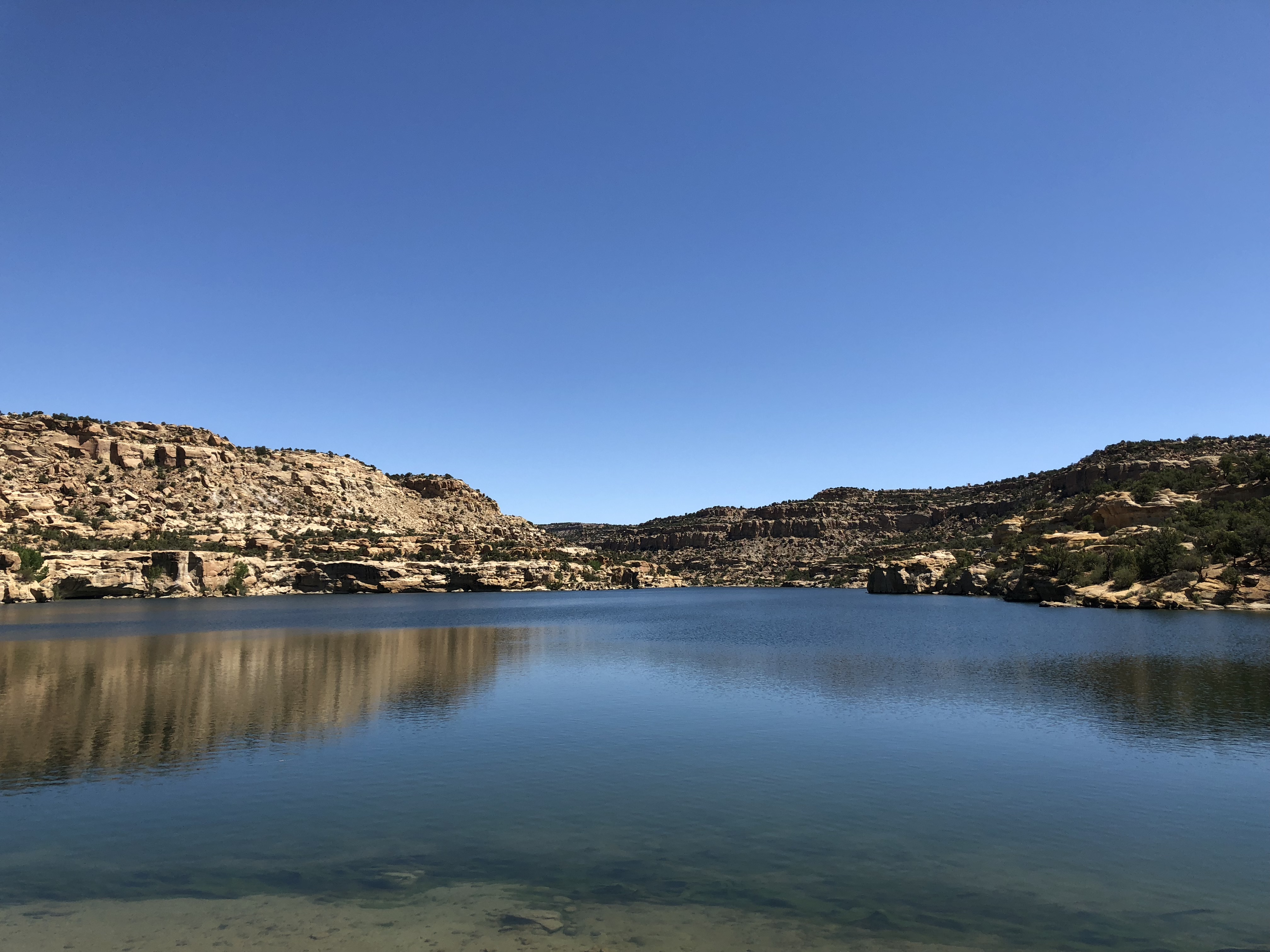
CUTTER CANYON – Cutter Reservoir is an incongruous sight.
The 10ish miles of dirt road it takes to reach it, up San Juan County Road 4450, is not suggestive of water. Thanks to oilfield money, the road is good as northwest New Mexico washboard dirt roads go. )We counted 21 well pads between the reservoir and the main highway.) But it is the sort of dusty that makes your mouth feel parched.
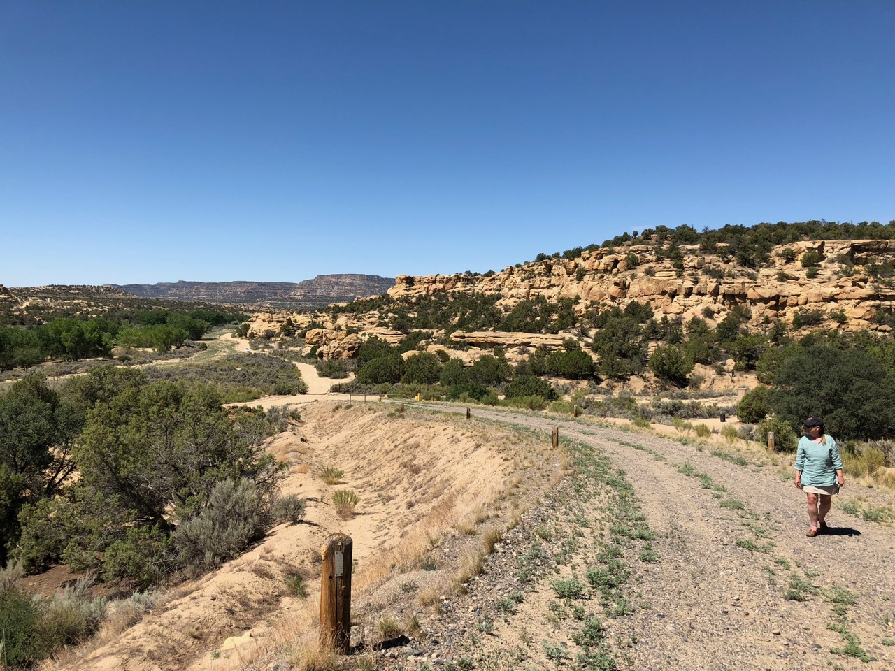
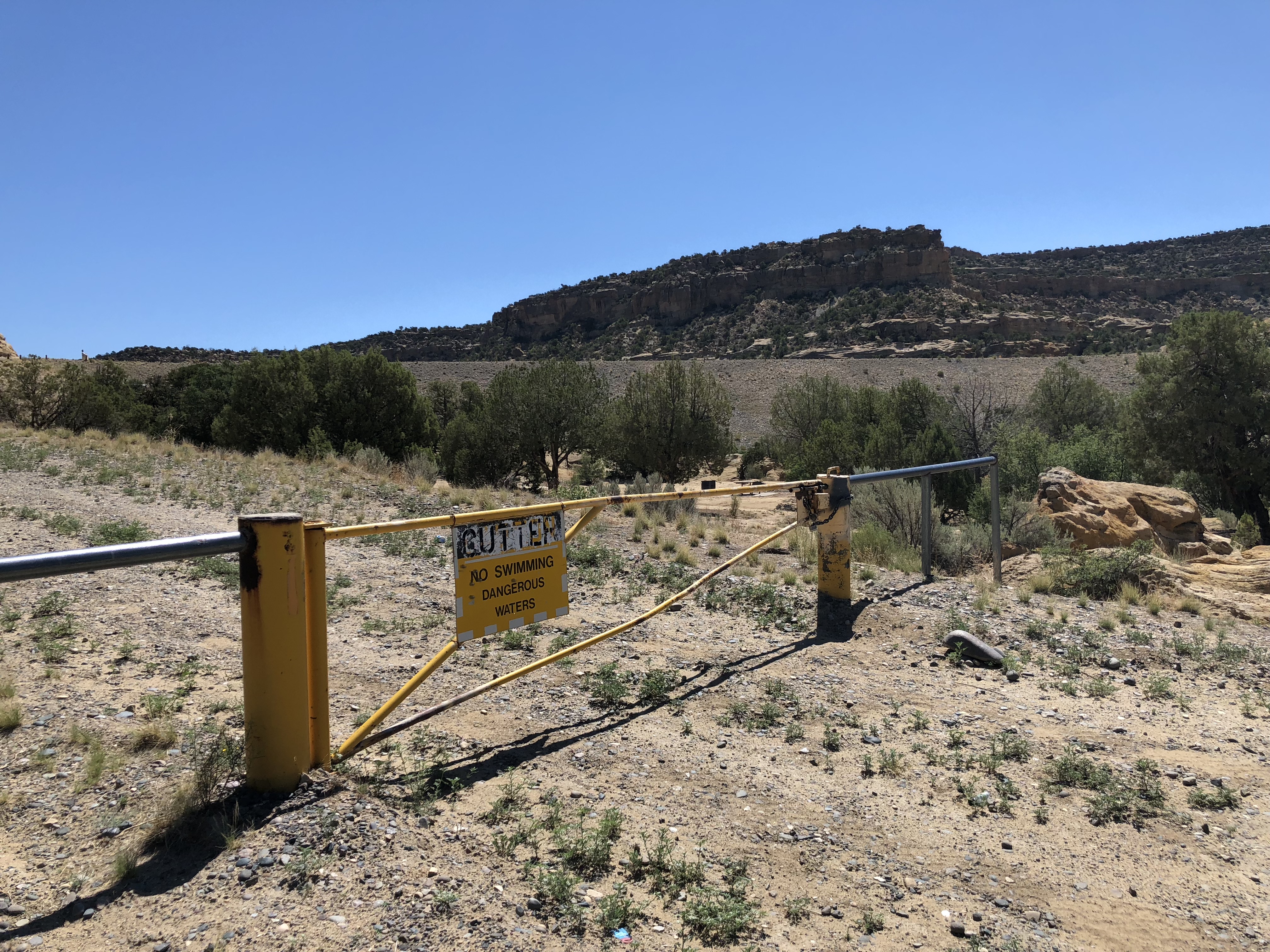
There are signs, until there aren’t, and Lissa and I got lost when we missed the turn, not having been attentive enough to the available maps and GPS advice on our devices, but eventually we rounded a corner and saw a big earthen plug in the arroyo ahead, parked at the foot of the dam and walked up the dirt road leading up the river right side of the dam.


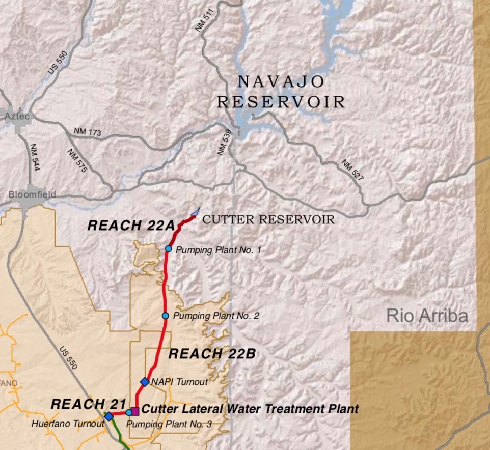
Cutter is part of the Navajo Indian Irrigation Project, approved by the United States Congress on June 13, 1962 – PL 87-483 – as a “participating project” in the Colorado River Storage Project (CRSP, we call them “crisp projects”). It sits downstream of the much larger Navajo Reservoir, if you can call a tunnel through desert sandstone a “stream”. With a surface area of just 64 acres, it’s a tiny thing, and with the dirt road access not as popular as Navajo among the local fishing and boating set, but we found a family from Farmington out on a Sunday morning, fishing near the outlet works. Dad was delighted that we actually cared, and stood on top of the dam pointing to the remarkable irrigation works – canals, tunnels, siphons – that carry Cutter water toward the Navajo Agricultural Products Industry farms (yeah, we do pronounce it “nappy”) on the mesas to the west. At 72,000 acres, NAPI is the largest single-ownership farm in the Upper Colorado River Basin (maybe in the entire Colorado River Basin? please jump into the comments if you have any help on that question).
Water from Navajo Reservoir is staged at Cutter Reservoir before being shipped on the Navajo farmers, and (the reason for our visit) it’s also the holding tank for water to be delivered via the Cutter Lateral, a part of the Navajo-Gallup Water Supply Project. This is one of the last big engineering projects in the Colorado River Basin, finally delivering on a promise made to the region’s indigenous communities in the negotiation of the 1948 Upper Colorado River Basin Compact and the 1962 law that authorized Navajo Reservoir.

It’s a remarkable bit of water in the desert.


I hope you took a nice swim.
John,
I believe the Colorado River Indian Tribes Reservation in Arizona and California had about 104,000 acres. Check the Arizona v. California decree.
I am glad that you and Eric Kuhn are writing about the hydrology of the Colorado River. I had compiled many historical documents pertaining to this topic when I worked in the Colorado River Management Section at the Arizona Department of Water Resources. You probably have access toany them.
There is also a lot of hydrologic infoation in the exhibit documents in AZ v. CA.
What exactly is “the hydrology?”
How does it differ from the supply of water?
Thanks for the good info. Hope all is well. Say hello to Eric for me.
we collected stocked, kokanee salmon out of Cutter Reservoir once. great lake in the steppes