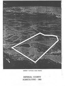
The Imperial County Agriculture 1965, one in a series of reports I’ve been reading on the history of ag production in the California desert, has an insanely cool picture on its cover that sent me down the NASA rabbit hole. It’s kind of grainy, a picture of Imperial from space labeled “Gemini V Official NASA Photo”. The picture, poor as the reproduction is, sent me on a search for an original.
The Gemini V mission launched Gordon Cooper and Pete Conrad into orbit on Aug. 21, 1965. They stayed for nearly eight days, setting what was then a record in our competition with the Soviets for who could set milestones for doing stuff in space.
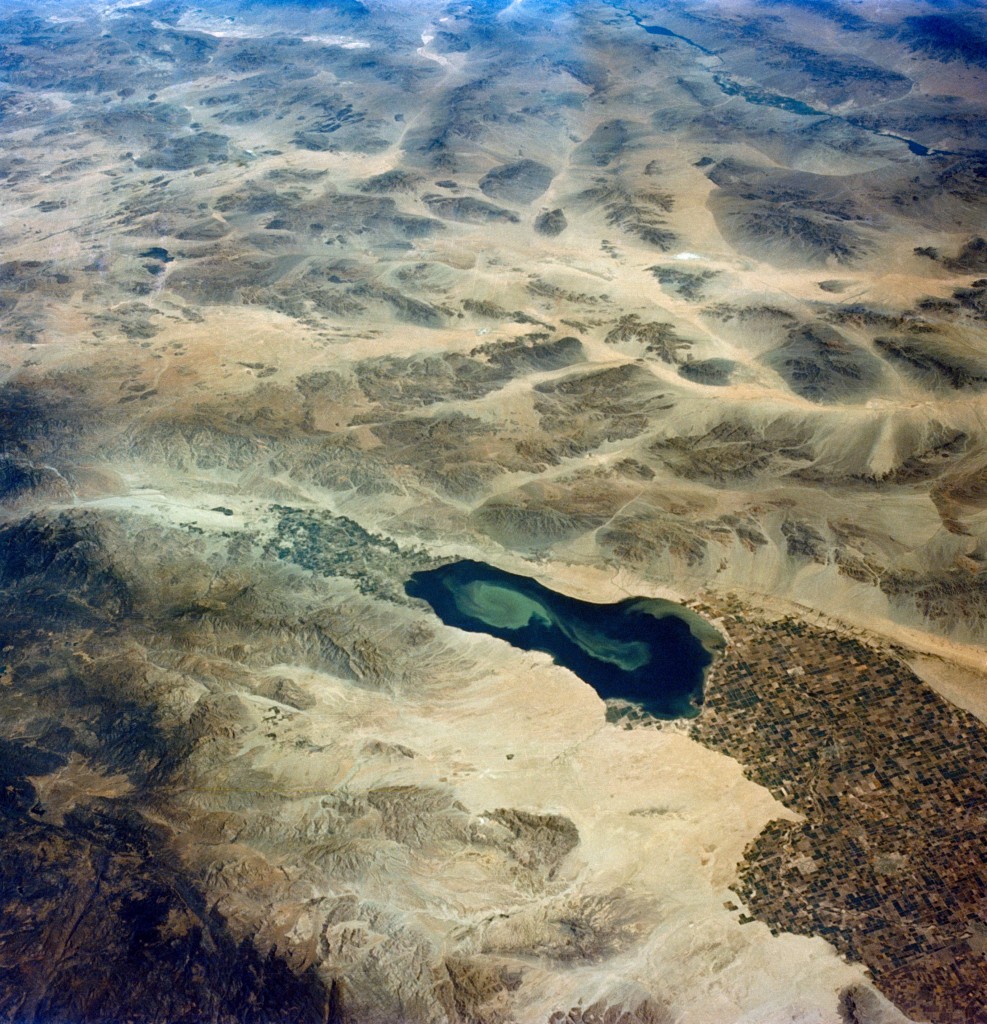
They took some pictures, including this breathtaking image. Pictures from space frequently tell useful stories. Imperial has always seemed especially so to me, because of the way the vantage point of orbit shows the crisp line between desert and irrigated farmland, one of the most striking examples of what geographers call a “working landscape”. The farmland to the right is the Imperial Irrigation District, the body of water in the center is the Salton Sea, and the farmland on the left is Coachella.
The image in the NASA archive is undated, so we only know that it was taken between Aug. 21 and 29, 1965:


Awesome photo on several levels. Top right: Shows lake Mohave, Bullhead City (sans Laughlin). Also shows the site of Lake Havasu City before the London bridge. On the bottom right is the dividing line at Calexico/Mexicali area. You can actually see the dividing line between the two countries. The Mexico side is a little browner. Interestingly enough, Google Maps satellite view shows the same today.
The view looks pretty bleak. Interesting enough, during times of abundant water.
dg